The download hangar is currently disabled. We're doing our best to bring it back as soon as possible.

Project Screaming Eagle

Let's hear all about the eye candy at those military bases.
Post Reply
User avatar
msm8378
Captain
Captain
Posts: 234
Joined: 25 Mar 2008, 18:53
Version: FS9
Location: KHOP/KHPX,KY,USA

Project Screaming Eagle

Post by msm8378 »

I have finally managed to retire for a second time. Wow, where do the years go folks.

At any rate, and with the urging of my wife, I have dusted off a project I attempted to start a number of years ago and if all continues to go well I hope the community will enjoy it, especially now that the aircraft gurus are rolling out the rotor fleets...

The project is scenery for Fort Campbell, Kentucky in its entirety and I will try to post as often as possible and I strongly encourage comments. My hope is that not only will I gain encouragement to continue the project, but that this thread can serve as answers to common issues for others as well. I have found that finding answers to specific problems can be mind numbing at times. 8)

I chose this base due to the fact that I was assigned to the 101st Airborne Division for almost my entire military career during the 80's and 90's including a combat tour in the middle east (Desert Storm).

Believe me, my hat is off and a huge salute to, the past and current crop of scenery designers here at MAIW. It is not an endeavor for the faint of heart. The learning curves are steep and FS9 scenery can be challenging and a downright bear at times.

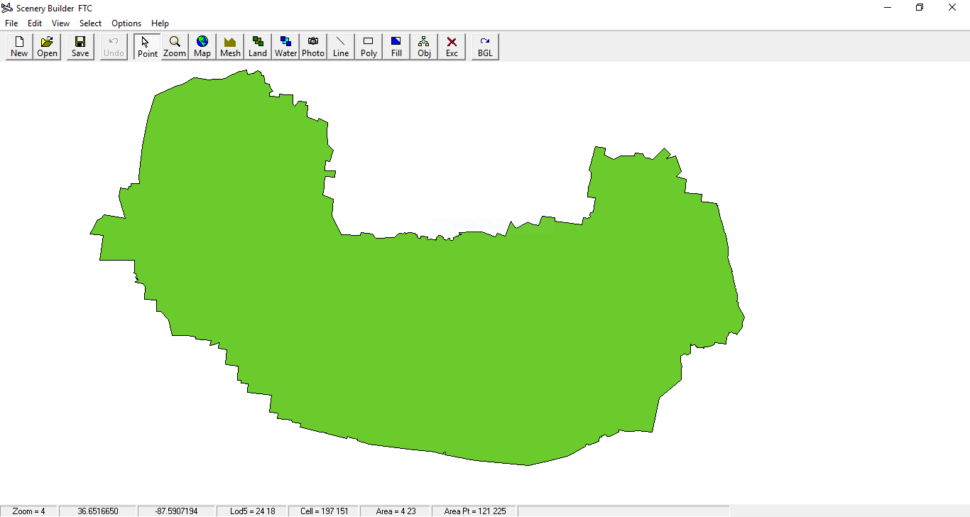
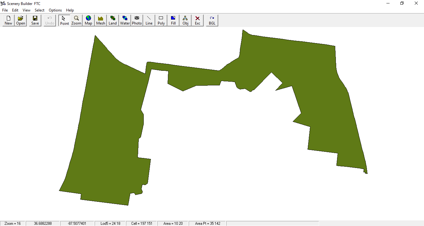
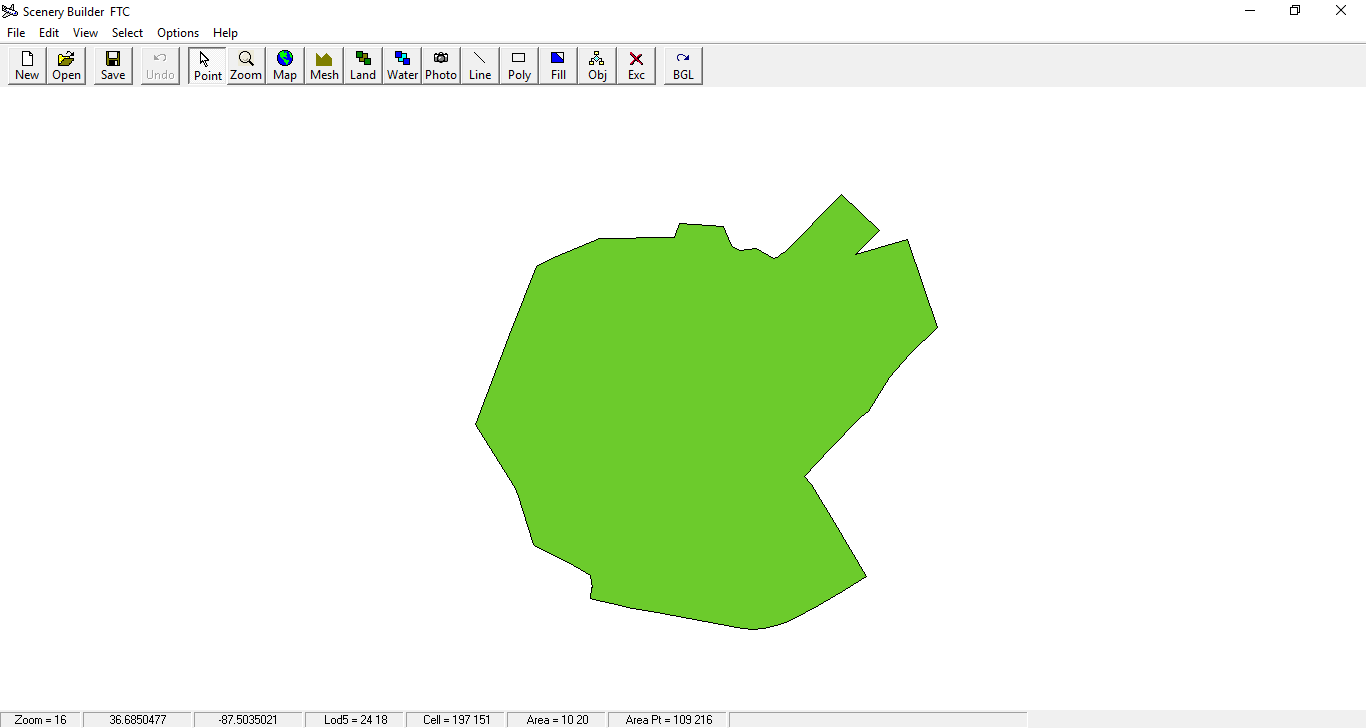
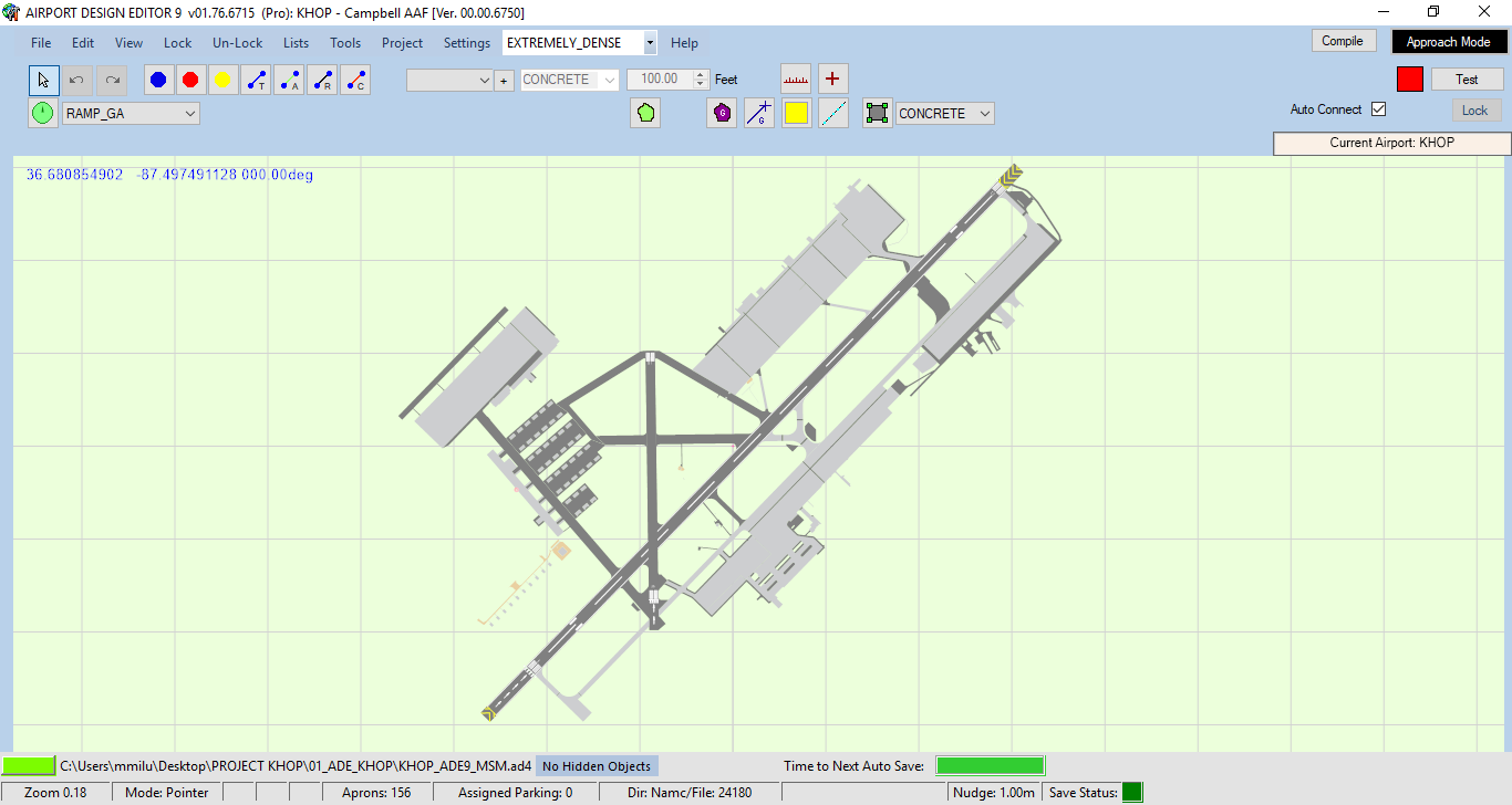
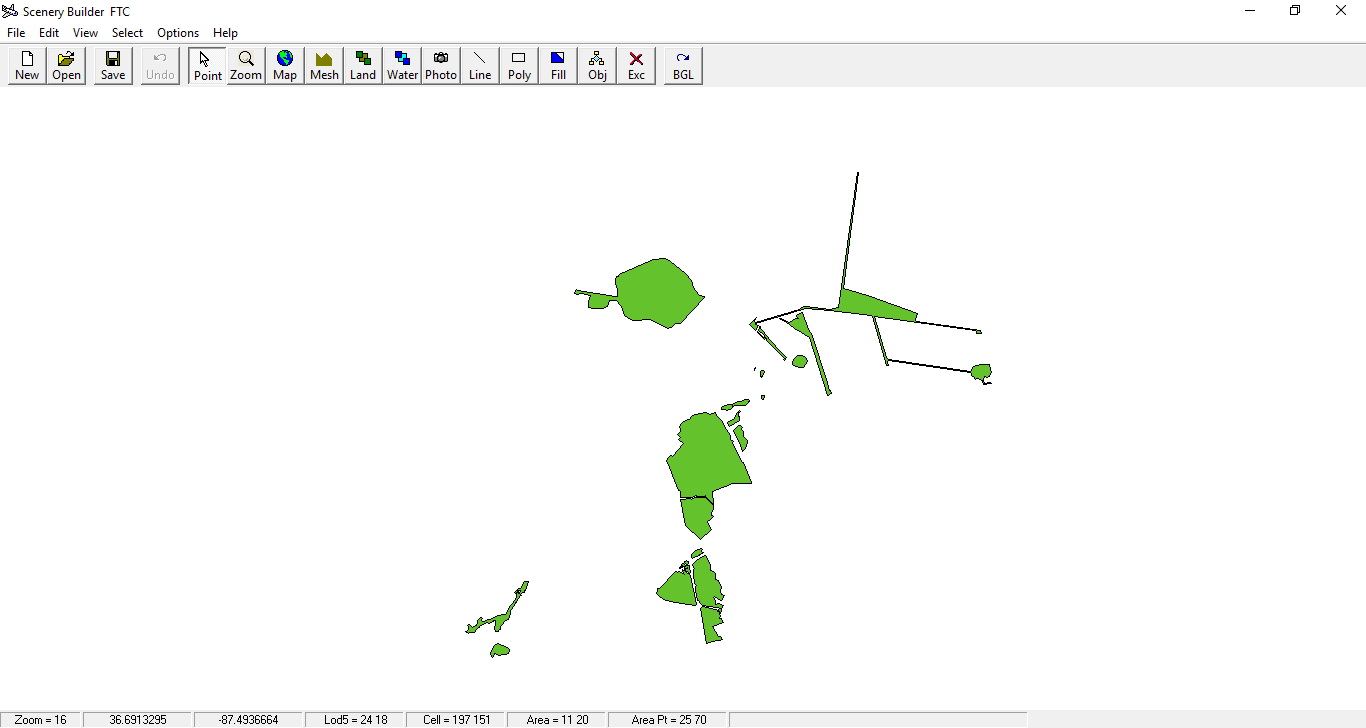
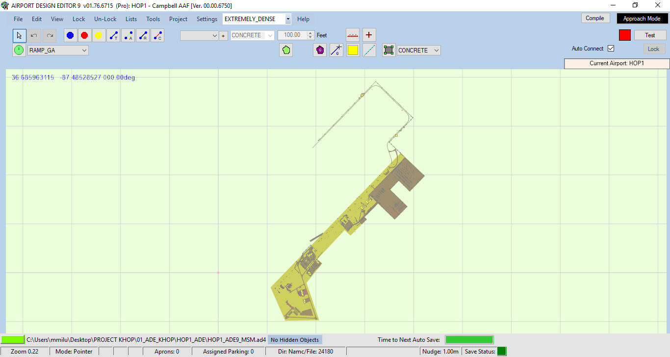
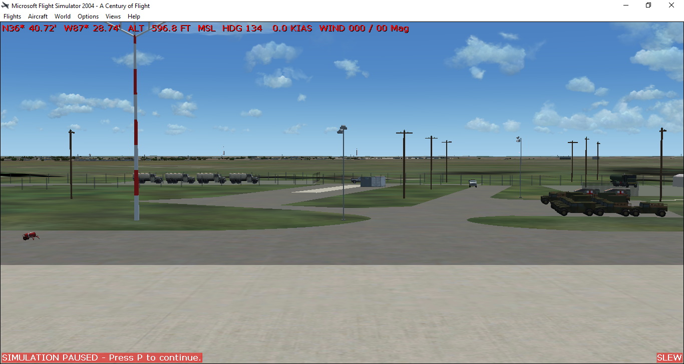
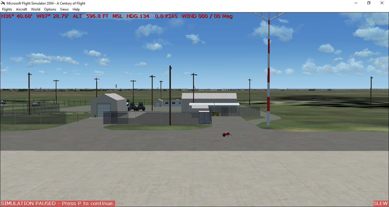
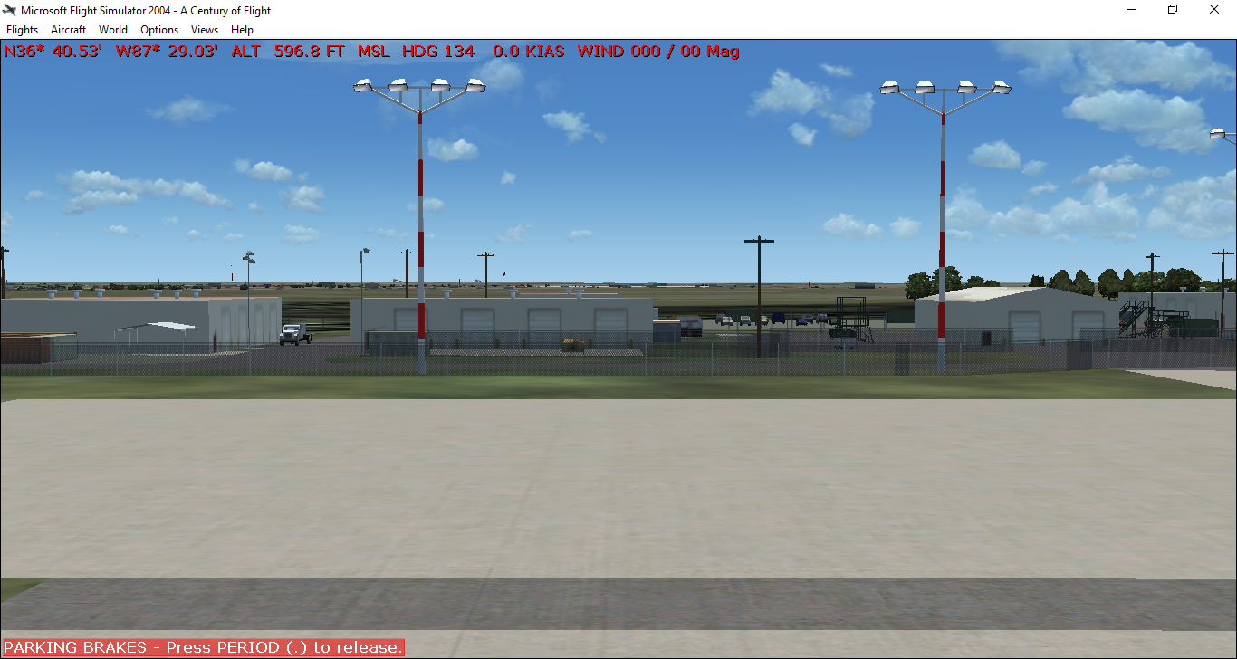
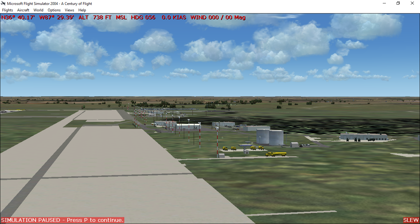
So here we go. I started with sbuilder to begin the landclass files. In the default sim the base is represented pretty much as just a big splotch of wooded land. In reality it actually is, but hidden amongst the trees are many interesting areas. Sbuilder is a great tool for making custom landclass if you have the patience for working with polygons. The level of detail and results can be astounding.

https://imageshack.com/a/img921/8188/bJNxd3.png

Within the area shown in the image are two airfields: KHOP _ Campbell AAF and KEOD _ Sabre AAF. Sabre used to be an AHP but is now capable of accepting C-130 and C-17 traffic as well and is not represented in FS2004 at all. Scattered across the remainder of the training area are 7 Landing Zones, 6 Drop Zones, and 3 Impact Areas.

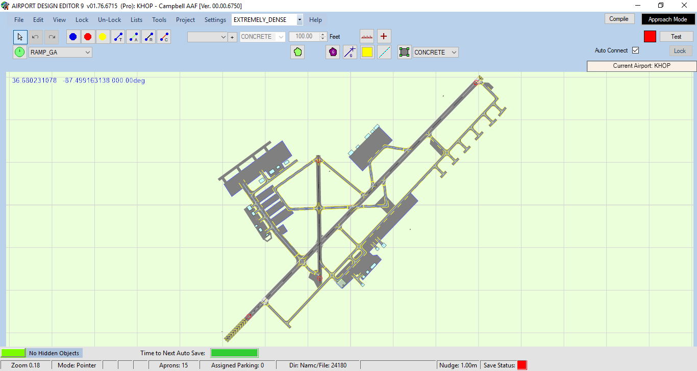
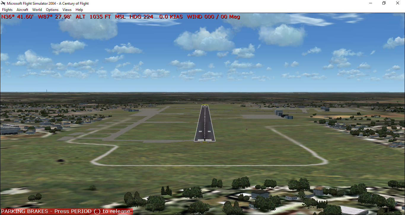
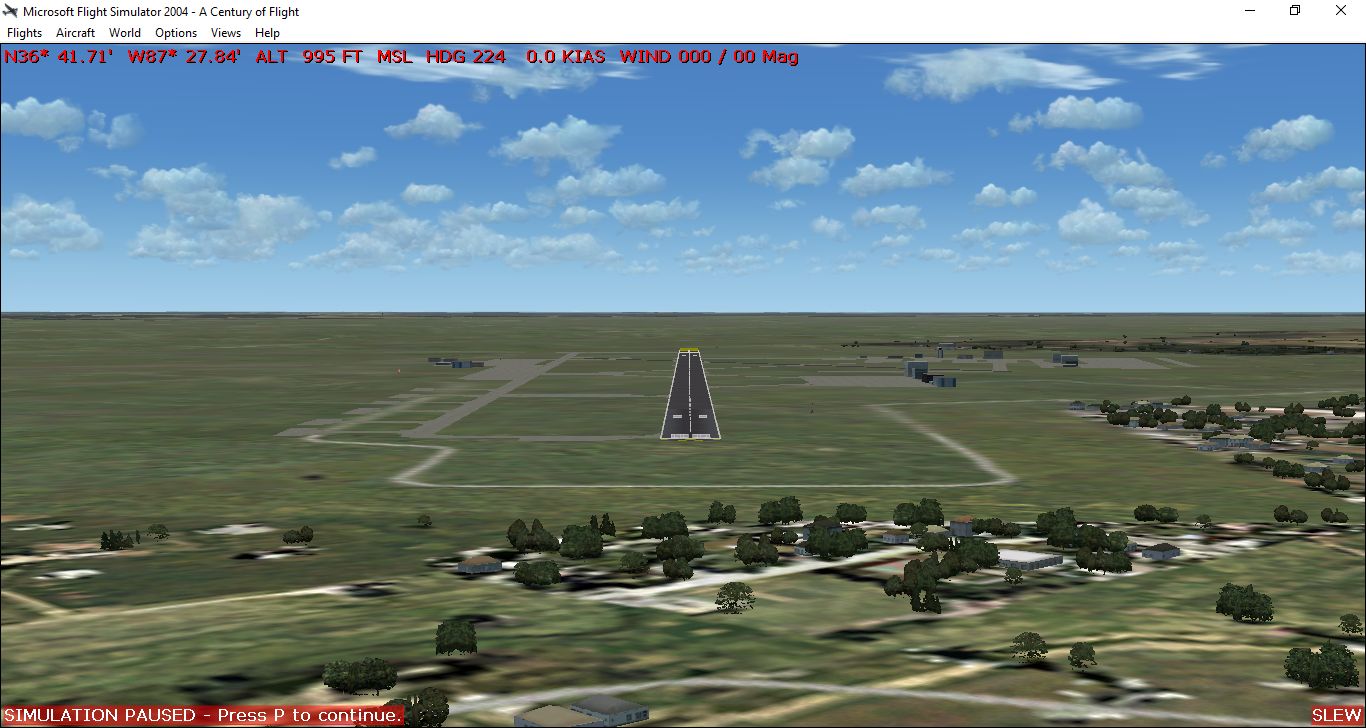
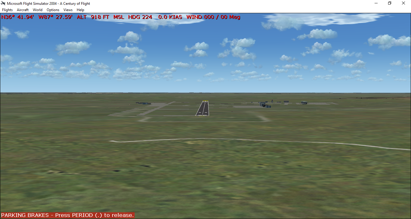
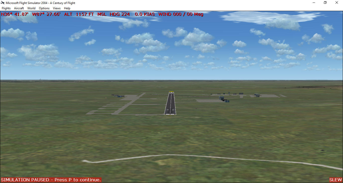
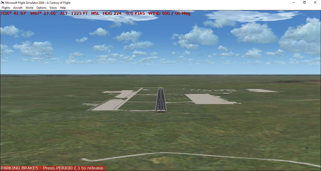
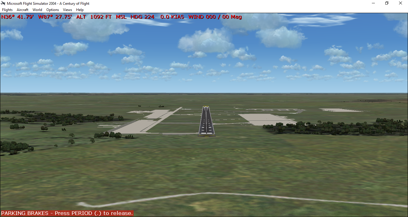
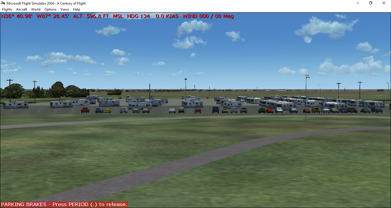
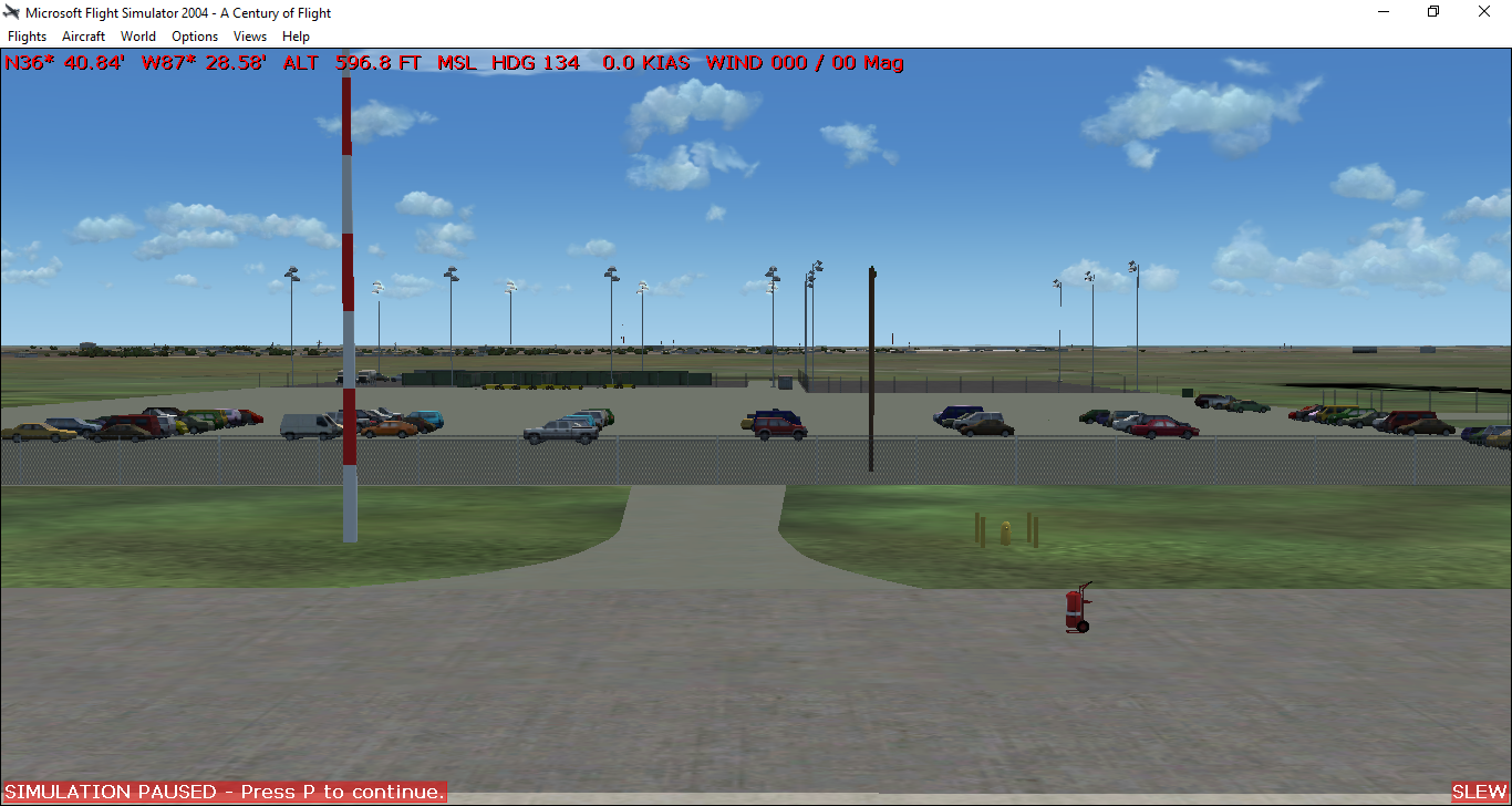
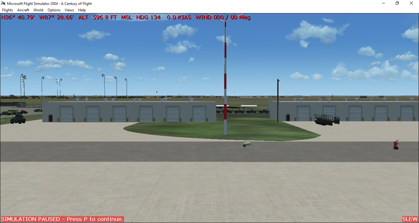
I am well along on KHOP already and will be posting more images soon of the work in progress. Cheers and thanks to everyone here at the MAIW community!
User avatar
msm8378
Captain
Captain
Posts: 234
Joined: 25 Mar 2008, 18:53
Version: FS9
Location: KHOP/KHPX,KY,USA

Re: Project Screaming Eagle

Post by msm8378 »

https://imageshack.com/a/img921/9281/wYPLRR.png

KHOP sits in the extreme NE corner of the base. In starting the landclass for the project I wanted to include more detail to the landclass on approach and departure to the field. This polygon image represents that zone and is civilian land to the W/N/E of the field.

I utilize Ultimate Terrain USA so the first image in post above and this image have been set to layer 4 and 5 respectively. This allows the UT Roads and Railroads to stay in view.

Special note...all information I am utilizing for this project is open-source and freely viewable/obtainable on the internet. At no time will I post imagery or comment/answer questions regarding areas/parts/or activities at this facility that I know or could be classified in any way. Fort Campbell is a complex facility and houses a number of Special Operations units so I want to be clear on this and stay in good graces with my fellow service members and some alphabet folks :roll:
User avatar
msm8378
Captain
Captain
Posts: 234
Joined: 25 Mar 2008, 18:53
Version: FS9
Location: KHOP/KHPX,KY,USA

Re: Project Screaming Eagle

Post by msm8378 »

https://imageshack.com/a/img922/2394/BceH1s.png

This image represents the land occupied by KHOP. Because I want to have more detail than what UT-USA provides I have set this to layer 10 which hides the UT Data.
User avatar
msm8378
Captain
Captain
Posts: 234
Joined: 25 Mar 2008, 18:53
Version: FS9
Location: KHOP/KHPX,KY,USA

Re: Project Screaming Eagle

Post by msm8378 »

https://imageshack.com/a/img922/4382/YA1abv.png

ADE shows that the default KHOP appears as per the above image.

https://imageshack.com/a/img924/4599/vnaiwF.png

In sim with UT-USA KHOP appears per as per the above image.

https://imageshack.com/a/img921/3797/dzEyTx.png

In the above image I have activated the layer 04 landclass polygon I created with sbuilder which is the outline of the entire facility (over 100,000 acres)...

https://imageshack.com/a/img923/9680/Dxz8c3.png

In the above image I have added the layer 05 landclass polygon which represent the approach and departure areas I which to detail as well...

https://imageshack.com/a/img922/2394/BceH1s.png

The above image is a landclass polygon representing the actual boundaries of KHOP. It is set for layer 10 so as to hide/remove the UT-USA data.

https://imageshack.com/a/img924/9572/MmQjcw.png

and finally, in the above image I have activated the layer 10 landclass polygon which represents the actual KHOP boundaries and this layer removes/hides/overlays the UT-USA data.
User avatar
msm8378
Captain
Captain
Posts: 234
Joined: 25 Mar 2008, 18:53
Version: FS9
Location: KHOP/KHPX,KY,USA

Re: Project Screaming Eagle

Post by msm8378 »

https://imageshack.com/a/img921/2442/x5Rx88.png

Out with the old...in with the new. Lets start with the Runways and Aprons... ADE image above - Sim view below...

https://imageshack.com/a/img921/9667/TpGE4v.png
User avatar
msm8378
Captain
Captain
Posts: 234
Joined: 25 Mar 2008, 18:53
Version: FS9
Location: KHOP/KHPX,KY,USA

Re: Project Screaming Eagle

Post by msm8378 »

https://imageshack.com/a/img923/3561/MYrWsN.png

Image above is landclass polygons for woodlands on the field itself and on approach...

https://imageshack.com/a/img923/2041/vhK4ow.png
User avatar
msm8378
Captain
Captain
Posts: 234
Joined: 25 Mar 2008, 18:53
Version: FS9
Location: KHOP/KHPX,KY,USA

Re: Project Screaming Eagle

Post by msm8378 »

https://imageshack.com/a/img921/9144/4gZmCI.png

ADE work on zone 1 ... South side of KHOP ... Cargo Ramp / PAX-TRANS Ramp / Maint Ramp

https://imageshack.com/a/img921/8937/uzRAW7.png

https://imageshack.com/a/img922/1875/hlOgOG.png

https://imageshack.com/a/img924/3844/2k2cS5.png

https://imageshack.com/a/img923/726/2nrxgN.png

https://imageshack.com/a/img922/3199/Go7FXy.png

https://imageshack.com/a/img921/7748/BP1AVa.png

https://imageshack.com/a/img922/411/tqadt4.png

Yes, we have autogen suppression due to the boundary boxes associated with the ADE-GP Ground Polygons. This has proven to be a devilish problem which I am still playing with...more on this issue later when I have had a pot of coffee and get my notes in order. 8)
User avatar
Victory103
Colonel
Colonel
Posts: 3978
Joined: 13 Aug 2007, 03:35
Version: P3D
Location: KPHX

Re: Project Screaming Eagle

Post by Victory103 »

Looks like a huge project, but well worth it for the shear amount of MAIW traffic possible.
DUSTOFF
ARMY PROPS
NAVY SAR

-Chris
User avatar
John Young
MAIW Developer
MAIW Developer
Posts: 4222
Joined: 12 Jul 2008, 15:15

Re: Project Screaming Eagle

Post by John Young »

Really good to see that you have picked up the project again. FS designing is a great way to keep the brain active in retirement.

It looks like you are going for detail, which is great. FS9 is not as critical as FSX, performance-wise, but even so, my advice to you would be to check your frame rate regularly. Do that from near the threshold of each runway and include as much of the scenery as possible. It's the most critical part of the scenery and you want to avoid a situation late in the design were you suddenly discover that the frame rate is making the user aircraft very difficult to fly, particularly on approach on a windy day.

If you are making custom objects, I can give you a few tips on performance if you need it.

John
User avatar
msm8378
Captain
Captain
Posts: 234
Joined: 25 Mar 2008, 18:53
Version: FS9
Location: KHOP/KHPX,KY,USA

Re: Project Screaming Eagle

Post by msm8378 »

Thanks for the uplifting comments gentlemen.

I would greatly appreciate seeking your advice as needed John and yes I may have a couple of custom objects that I will need to make down the road.

Going for as much detail as I can get and will adjust/remove as needed during final testing prior to release.

Quick question right out the gate...Is GMAX a huge factor in how smooth a large airport renders/functions compared to ADE/Sbuilder? I have all of the FS2004 scenery by Blueprint Simulations and for example Memphis or KJFK are very smooth in almost all instances even with all the ai traffic in addition to the scenery.

More to come soon...
User avatar
John Young
MAIW Developer
MAIW Developer
Posts: 4222
Joined: 12 Jul 2008, 15:15

Re: Project Screaming Eagle

Post by John Young »

There are two factors that influence performance of 3-D objects. The first is the number of draw calls - broadly, the number of instances that an object is called in the scenery. The second is the number of texture vertices applied to each object. Surprisingly, the polygon count is not so important so long as the first two factors are managed. You can get away with murder.

This applies to objects you are making yourself. You can't influence what you are presented with when using third party object libraries. That's fine, but you just need to watch how many you place and check your frame rate as you go.

ADE doesn't feature in this, apart from compiling the scenery objects of course and I don't think SBuilder does either (I don't use it). With Gmax, you can build large single scenes with multiple objects in them all sharing one large texture sheet. All of the objects are attached together to create just one draw call. All common texture vertices are welded together so there is only one set for all the objects of the same type. For example placing 200 cruciform trees individually will cost you 200 draw calls and 1600 texture vertex points. If you attach them all together in one Gmax scene and weld the texture vertices, you get 1 draw call and 4 texture vertices. You can do the same thing with things like cars, bunkers, fences and control tower railings. You can also add a third efficiency ingredient - LODs applied to the whole scene or to single items where they are necessary. You don't need to draw a light pole at 10 miles. You can use a LOD to make it disappear at 1 mile.

It's not difficult to do, but you will probably need to apply a Google Earth image to a temporary flat plane in Gmax the size of the area you are modelling so you know where to position each object.

I can show you how to do all this, but you need to be very comfortable with Gmax in the first place - it's not the easiest of programs to pick up.

John
User avatar
msm8378
Captain
Captain
Posts: 234
Joined: 25 Mar 2008, 18:53
Version: FS9
Location: KHOP/KHPX,KY,USA

Re: Project Screaming Eagle

Post by msm8378 »

John,

Great info! I already use BLENDER to some proficiency and have seen several youtube videos of it being used for FSX/P3D scenery. Can Blender be used in place of GMAX for FS2004 scenery as well? If not then GMAX should not be that much more complex hopefully...
User avatar
John Young
MAIW Developer
MAIW Developer
Posts: 4222
Joined: 12 Jul 2008, 15:15

Re: Project Screaming Eagle

Post by John Young »

You may be OK with Blender because it's similar to 3DMax and that's the big brother of Gmax. Let me give you the process so you can check.

This is a weapons area. It's made up of a number of buildings and a lot of security lamps all attached together to form one object:

Image

This is the mapping of a single 1024 x 1024 pixel texture sheet that serves the whole scene:

Image

The area highlighted is a common roof area. You might think there is just one texture vertex (Tvert) at each corner. However, because the roof is used several times, there are a number of Tverts stacked on top of each other. It's those that need to be welded together, not the 4 corners.

The drop down menu on the left appears after highlighting the vertices you are interested in in the UVW edit tab and right clicking.

You have two options. "Target Weld" allows you to click each vertex in the stack one at a time (machine gunning), or "Weld Selected" allows all the Tverts behind each other to weld together if all are selected in one go. Although I'm using the roof area as the example, the really great potential for the technique are the security lamps.

You can get a count of the Tverts at any time if you convert the scene to editable mesh, highlight the Tverts you want to count, and in the script listener window (the white letterbox bottom left), type "getNumtverts$" and hit return. The count will be displayed in the window below it. You will be amazed at how the number can be reduced.

See if Blender does the same. It might well do.

John
User avatar
msm8378
Captain
Captain
Posts: 234
Joined: 25 Mar 2008, 18:53
Version: FS9
Location: KHOP/KHPX,KY,USA

Re: Project Screaming Eagle

Post by msm8378 »

Thanks for the great tips on gmax (John). I have loaded up gmax now as well and many of the functions are similar to blender but will require some tinkering with to become proficient with it.

Status update on the project ... I have located some new imagery sources so am making needed adjustments to work already completed.

I have also solved much of my autogen suppression issues caused by ADE-GP polygons and lines (bounding boxes).

Much of the following may (or may not be known) by many, but as a reference for anyone interested:

ADE Aprons and Taxiways will not cause autogen suppression in FS2004. So, for a complex airport, it all comes down to managing the limitations of ADE for utilizing Aprons, Taxiways, and GP Lines/Polygons to achieve the desired appearances. By trial and error I try to place ADE-GP polygons for roads or parking lots, etc. and if autogen suppression occurs I replace with either an Apron polygon or taxiway.

ADE Aprons are limited to 250 individual polygons or 4000 polygon vertex points, whichever limit is hit first. At or near either limit, you will most likely have to utilize the extended compile feature set to "complex split" to get the file to compile properly.

ADE Taxiways are limited to 3000 points total (don't confuse with links as a link is a separate item located/connected between two points).

ADE-GP Lines/Polygons are similar in creation to ADE Aprons but without the limitations that Aprons have as to total number in the bgl or number of total vertex points. However, in FSX/P3D, ADE-GP objects are limited to only 22000 triangles created from any one of the materials (textures). Once this limit is reached that material (texture) cannot be utilized further. Since I do not utilize either of these sims at the moment I have not tried to tinker with this limitation.

So far so good and will have more images soon...
Post Reply