Hi Zsolt
I've done a bit of research as the Airfield Elevation Correction tool has been removed from Orbx Central for the P3Dv5 version of Vector as apparently it's no longer necessary - it remains in Central for FSX, however, and it may still be there for P3Dv4. Look under the configuration tab for Orbx Vector in Orbx Central. If it is there, disable ETNS within the dialogue. That should allow the MAIW scenery to set the field elevation.
As you may already have discovered, the elevation set for the MAIW version of ETNS is 22.25m, whereas the Orbx elevation for the field is 21.336m (which is the correct figure in reality). That is what is producing the elevation issue.
If the Airfield Elevation Correction Tool is missing from your installation of Vector, that means that Orbx are happy that it's not needed. However, it also means you
must ensure that your MAIW sceneries are above anything that Orbx injects into the sim. Orbx Central allows you to automate this; in Settings, under Simulator on the left hand side you will see a tab called 'insertion point'. Using that you can set the point in the scenery library below which Orbx will inject its sceneries. Make sure it's set below all of your other third-party sceneries, including MAIW. The sim should display display only the highest entry for any particular airfield.
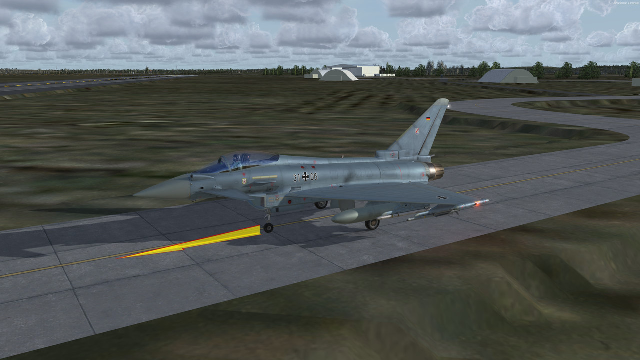
I'm using the MAIW Matrix version of ETNS, already converted for P3Dv4. I have modified it slightly to be more compatible with John's AI traffic. This image is taken without the Tornado traffic active, so it's a bit empty, but you can see that it sits reasonably well in the landscape - though the airfield background doesn't merge with the Orbx colours particularly well.


